Software
Desktop GIS, enterprise GIS servers, web GIS portals, spatial databases, middleware, API services and remote-sensing software.

GIS DEPARTMENT
The GIS department was established in 2023 after the HEDNO digitization, surveying and registration tender. The department is specialized in utilities and telco projects.
THE TEAM
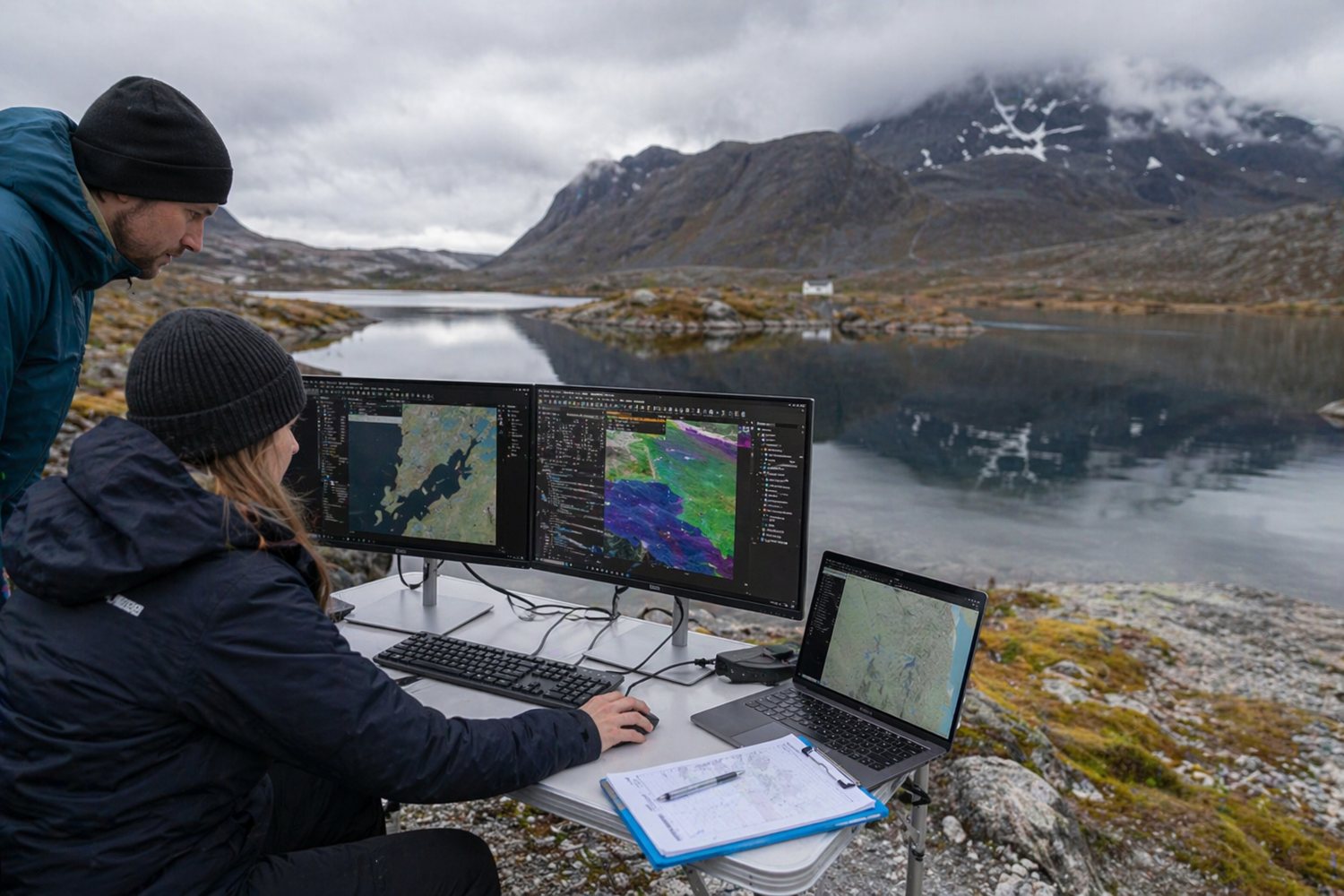
Geospatial analysts, GIS developers, database administrators, system administrators and data engineers. At present, the team consists of 50 members.
WHAT WE DO
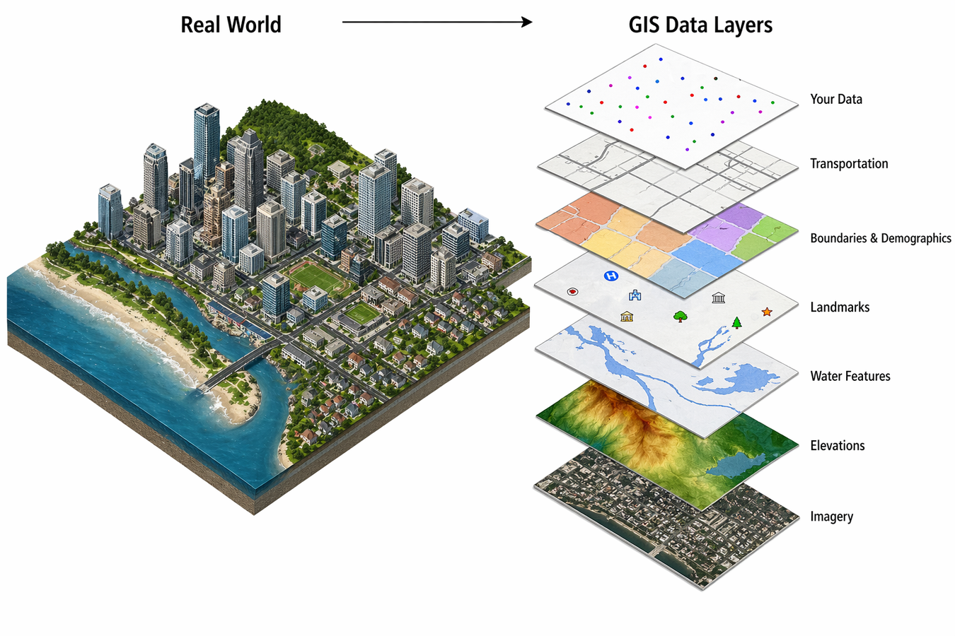
Desktop GIS, enterprise GIS servers, web GIS portals, spatial databases, middleware, API services and remote-sensing software.
GNSS/GPS, UAV/drone imagery, satellite data, CAD/BIM integration, ETL, topology rules, metadata, validation and versioned geodatabases.
Custom web and mobile GIS applications, RESTful services, automated geoprocessing, Python, SQL and scheduled workflows.
WHAT WE DO
ISO 191xx, OGC standards, reference systems, naming conventions, RBAC, encryption, backups and audit logging.
Integration with ERP, CMMS, SCADA, asset management and BI platforms through APIs and spatial services.
Role-based training, application workflows, system administration, incident management, monitoring and documentation.
MEASURE SUCCESS AND EXPAND
Uptime, response time, database performance, data latency, accuracy and user adoption.
Capacity planning and load testing guide infrastructure expansion.
Advanced spatial analytics, AI/ML, real-time GIS, 3D GIS and digital twin technologies.